Camino Francés Stage 1: St. Jean to Roncesvalles
24.7km (15.3mi)
![]() 1332m /
1332m / ![]() -571m
-571m
61% Paved, 39% Unpaved
![]()
![]() 7-9 Hours , Difficulty: Challenging
7-9 Hours , Difficulty: Challenging ![]()
Alternate Stage 1A via Valcarlos
23.7km (14.7mi)
![]() 1093m /
1093m / ![]() -328m
-328m
70% Paved, 30% Unpaved
![]()
![]() 6.5-8.5 Hours , Difficulty: Challenging
6.5-8.5 Hours , Difficulty: Challenging ![]()
Map waypoints and tracks
Lodging waypoints on the interactive map above shown as ![]() Hotels (teal bed symbol on map) only have private rooms. Those shown as
Hotels (teal bed symbol on map) only have private rooms. Those shown as ![]() Albergues (red A symbol on map) are more pilgrim-oriented and have dormitory beds, often also with private rooms (click waypoints on map for details).
Albergues (red A symbol on map) are more pilgrim-oriented and have dormitory beds, often also with private rooms (click waypoints on map for details).
![]() This track (or multiple tracks if alternates exist) follows the marked Camino de Santiago route which is primarily for hikers, but also used by cyclists in the direction towards Santiago. Stage routes and waypoints correspond to the print and Kindle guidebooks by Village to Village Press.
This track (or multiple tracks if alternates exist) follows the marked Camino de Santiago route which is primarily for hikers, but also used by cyclists in the direction towards Santiago. Stage routes and waypoints correspond to the print and Kindle guidebooks by Village to Village Press.
V2V Guidebook for this stage
This stage is from the following V2V Camino Guides on the Camino Francés:
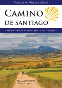
This comprehensive, 288-page guidebook includes detailed walking information, historical and cultural background information and the Camino Finisterre route. Available in paperback and Kindle formats.
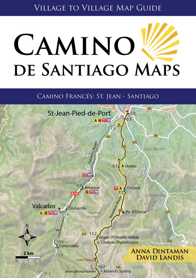
This ultralight, 96-page map guidebook focuses on the essentials that are best on paper: stage & city maps, elevation profiles and overnight accommodations. Available in paperback.
Navigate using the RWGPS app
View this stage route in Ride with GPS, where you can navigate and see interactive data on elevation and surface type along the way. Ride with GPS works for both hiking and cycling.
For navigation and GPX downloads (tips):
– Stage 1 on Ride With GPS
– Stage 1A on Ride With GPS
More route detail (map layers, elevation and surfaces) can be viewed in V2V’s Ride with GPS route directory, either in a web browser window or the mobile app. Pin a route to associate it with your personal Ride With GPS account for future use (both web and app platforms).
With the Ride with GPS mobile app, you can save routes offline to navigate along the Camino (no mobile phone services required). Download the Ride with GPS app on iOS or Google Play.
Read more on how to export a GPS file to another device and navigate using our data.
City & Town Maps
St. Jean Pied-de-Port
Valcarlos (1A)
Roncesvalles
Websites & Booking Links 
![]() Website links below correspond to this symbol in the printed guidebook and ebook. There are additional accommodations in the guidebook which do not have online booking or a website/email address.
Website links below correspond to this symbol in the printed guidebook and ebook. There are additional accommodations in the guidebook which do not have online booking or a website/email address.
Saint-Jean-Pied-de-Port
- Porte Saint Jacques
- Makila
- La Vita é Bella (patrizia.giardini67@gmail.com)
- Izaxulo
- Azkorria
- Beilari
- Sur le Chim au Chant du Coq
- Le Lièvre et La Tortue
- Ultreïa
- Compostella
- Bidean
- Chemin Vers L’Etoile
- Kaserna (jacques.mullon@orange.fr)
- Zuharpeta
- Zazpiak-Bat
- La Coquille Napoléon
- Antton
- Refuge Esponda
- Itzalpea
- Ramuntcho
- Les Pyrénées
- Maison Donamaria
- Gure Lana
- Municipal Campsite
- Museum Prison dite des Eveques
- Boutique du Pelerin gear store, St Jean
- Roncesvalles Museum
Honto
- Ferme Ithurburia
Orisson
Roncesvalles
- Albergue Municipal
- Casa Sabina
- La Posada
- Casa de Beneficiados
- Hotel Roncesvalles
- Museum of Roncesvalles
Arnéguy (1A)
Valcarlos (1A)
- Valcarlos Municipal (luzaide-valcarlos@wanadoo.es)
- Casa Erlanio
- Casa Etxezuria
- Apartamentos De Montaña Mendiola


